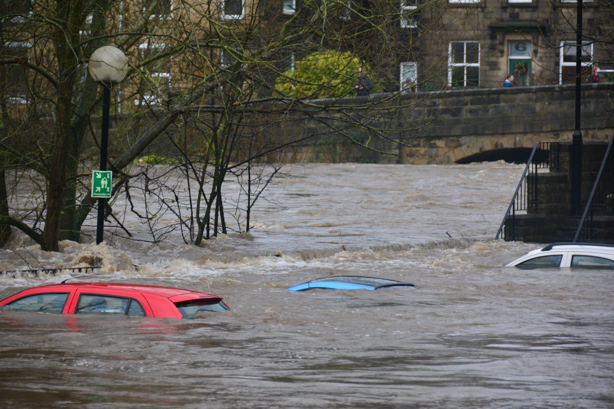

KATHMANDU — As floodwaters slowly recede across the battered mountain valleys of eastern Nepal and the southern Tibetan plateau, emergency response coordinators and humanitarian relief agencies are confronting the devastating scale of the disaster. With at least 98 confirmed deaths and nearly 300 individuals still officially registered as missing, the trans-Himalayan catastrophe ranks among the deadliest monsoonal flood events recorded in the region over the past decade.
The calamity, triggered by torrential cloudbursts that overwhelmed river catchment basins over a 72-hour window, has disrupted vital transport corridors, paralyzed regional economic trade, and displaced thousands of vulnerable families into makeshift emergency shelters.
Verified Casualties and Missing Persons Registry
Search and rescue operations are proceeding under extreme logistical constraints. According to combined situation reports issued by Nepal's National Disaster Risk Reduction and Management Authority (NDRRMA) and regional Chinese administrative agencies, the casualty profile reflects the severe vulnerability of mountain communities:
- Eastern Nepal (Koshi & Madhesh Provinces): 52 verified fatalities, with search efforts concentrated around submerged river settlements in Taplejung, Sankhuwasabha, and Panchthar districts. Over 140 people remain unaccounted for following devastating overnight landslides.
- Kathmandu Valley: 31 deaths attributed to flash floods along the Bagmati, Hanumante, and Bishnumati riverbanks, which inundated dense informal urban settlements and damaged electrical substations.
- Tibet Border Corridors: 15 confirmed fatalities and approximately 80 individuals missing along highway engineering projects, pilgrimage camps, and border trading posts.
| Administrative District / Sector | Confirmed Deaths | Missing Persons | Displaced Families |
|---|---|---|---|
| Koshi Province Highland Districts | 52 | 142 | 2,400+ Families |
| Kathmandu Valley Urban Centers | 31 | 65 | 1,800+ Families |
| Tibet Autonomous Region (Border Zone) | 15 | 82 | 650+ Persons |
| Cumulative Disaster Total | 98 Confirmed | 289 Missing | 4,850+ Displaced |
Logistical Bottlenecks Hampering Relief Distribution
Relief convoys carrying potable water, chlorine purification tablets, emergency surgical kits, and dry rations face formidable geographical obstacles. Over 18 strategic bridges have been washed away or structurally compromised, severing direct vehicular access to dozens of highland hamlets.
Consequently, emergency relief depends heavily on military air transport. Helicopter pilots have flown consecutive sorties through treacherous mountain wind shear to deliver supplies and evacuate severely injured survivors. Humanitarian organizations warn that without rapid restoration of clean drinking water systems, secondary public health crises—such as cholera, typhoid, and acute waterborne gastrointestinal outbreaks—could compound the catastrophe.
The Urgency of Climate Adaptation in Mountain Basins
International environmental institutions emphasize that the tragedy highlights the extreme climate vulnerability of the Hindu Kush Himalayan range. As global climate patterns destabilize traditional monsoonal cycles, high-altitude precipitation events are becoming increasingly localized, intense, and unpredictable.
Disaster mitigation experts urge Himalayan nations to invest in automated acoustic river sensors, satellite telemetry early warning networks, and strict zoning regulations prohibiting residential construction within historical river floodplains.
Frequently Asked Questions
A: As of the latest official situational assessments, at least 98 deaths have been confirmed across Nepal and southwestern China, with approximately 289 individuals still registered as missing.
A: Washed-out mountain highways and destroyed bridges have severed road access, forcing relief teams to rely on helicopters and foot patrols to reach isolated villages.
A: Key measures include implementing automated early warning telemetry systems, enforcing strict floodplain zoning laws, and strengthening trans-boundary meteorological cooperation between Nepal, India, and China.
Hydrometeorological Anatomy of the Himalayan Cloudburst and Flood Emergency
Meteorological post-mortems conducted by atmospheric scientists indicate that the catastrophic Himalayan flash floods resulted from a rare synoptic convergence: a deep low-pressure depression migrating northwestward from the Bay of Bengal collided with a mid-latitude westerly trough stalled over the Tibetan Plateau. Forced upward by the steep orographic barrier of the Mahabharat and Greater Himalayan ranges, moisture-laden air masses dumped more than 320 millimeters of rainfall in less than 18 hours—nearly triple the historical late-monsoon daily maximum.
Because preceding weeks of monsoon rainfall had already saturated shallow mountain soils to 100% field capacity, virtually all precipitation converted immediately into surface runoff. Within steep V-shaped river valleys, water levels surged 8 to 12 meters above normal bankfull stage, mobilizing millions of cubic meters of riverbed cobbles, timber, and landslide sediment into hyper-concentrated debris flows.
As communications links are progressively restored across remote hill districts, disaster statisticians explain that fluctuations in reported missing-persons tallies reflect the gradual integration of village-level registries from wards that were completely cut off from cellular and road networks during the first 72 hours of the crisis.
| Disaster Response Dimension | Field Status & Technical Metric | Strategic Recovery Priority |
|---|---|---|
| Precipitation Anomaly | 300–340 mm recorded in 18-hour cloudburst window | Deploy high-resolution valley Doppler radar & automated rain gauges |
| Search & Rescue Logistics | 340+ military & civil helicopter airlift sorties flown | Restore Bailey bridges along Arniko, BP, and Syabrubesi highways |
| Hydropower & Grid Impact | ~480 MW generation offline due to intake & penstock damage | Rebuild desilting basins with armored boulder-deflection weirs |
| Glacial Lake Monitoring | 24+ high-altitude moraine lakes under SAR satellite watch | Expand trans-boundary telemetry & automated valley siren networks |
Climate Resilience, Watershed Management, and Early Warning Reform
Civil engineers and climate adaptation researchers emphasize that the disaster underscores the urgent need to modernize infrastructure building codes across fragile mountain watersheds. Unregulated rural road cutting using heavy bulldozers without proper retaining walls or drainage culverts has dramatically increased slope instability across the Middle Hills during extreme rainfall events.
- Doppler Weather Radar Coverage: Expanding C-band and X-band Doppler radar arrays across mountain valleys to detect localized convective cloudburst cells 3 hours before impact.
- Bio-Engineering Slope Protection: Integrating deep-rooted vetiver grass, bamboo terracing, and gabion check-dams along rural road cuts to prevent shallow translational landslides.
- Floodplain Setback Enforcement: Enforcing strict 50-meter vertical and horizontal no-build buffer zones along high-energy Himalayan river corridors.
Related Prime Media Investigative Dispatches
Frequently Asked Questions (Editorial Briefing)
Q1: Why did the number of missing persons change so rapidly during the Nepal-China flood crisis?
Mountain landslides severed fiber-optic cables, cellular towers, and bridges across dozens of remote districts. As satellite terminals and helicopter rescue teams reached isolated valleys, local ward registries were merged into the central disaster database while evacuated survivors were cross-checked and removed from missing lists.
Q2: What causes flash floods in the Himalayas to be so destructive compared to plains flooding?
Steep mountain gradients accelerate runoff into high-velocity debris flows carrying boulders and mud, while warm rain at high altitudes destabilizes glacial moraine lakes and saturated highway slopes simultaneously.
Editorial Analysis & Fact-Checking by Sarah Jenkins (Senior Technology & AI Correspondent), Prime Media Global Desk.